Use the tools in the RockWorks | Utilities | 3-D menu to read spatial data from the Datasheet, and generate a variety of different 3-dimensional maps. This topic summarizes the tools that are available - click on a link or picture for more information.
![]() Back to Utilities Summary
Back to Utilities Summary
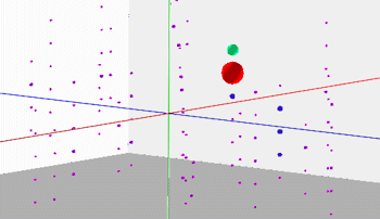
Points: Display XYZ points as spheres or cubes in a 3D display. (More info)
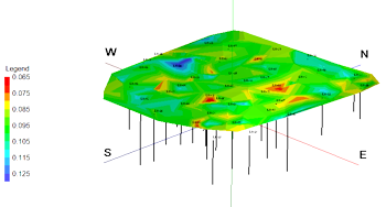
Triangulation Surface: Read XYZG data from the datasheet, create a 3D surface with Delaunay-triangulated color contours and other map layers. (More info)
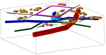
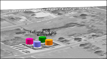
Infrastructure Diagrams: Read infrastructure objects and parameter settings from a text file and display them as a 3D scene. (More info)
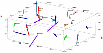
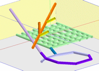
Oriented Samples: Read location, bearing, and inclination data from the RockWorks datasheet and draw 3-dimensional arrows at those locations. (More info)
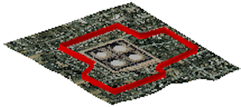
Perimeter/Wall: Read a list of X, Y coordinates and create a series of vertical panels that may be used to show a project area perimeter within a 3D diagram. (More info)
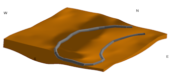
Polyline/Pipeline: Read a listing of XYZ points from the RockWorks Datasheet, and create a 3D map with a polyline drawn between these vertices, in a selected color. (More info)
Tubes: Read X1 Y1 Z1, X2 Y2 Z2 coordinates from the RockWorks datasheet, and display these as oriented tubes in RockPlot3D. (More info)
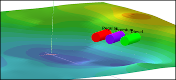
Horizontal Tubes (Storage Tanks): Read location, elevation, radius and color data from the RockWorks datasheet and draw horizontal 3-dimensional cylindrical tanks at those locations. (More info)
Vertical Tubes (Storage Tanks): Read location, elevation, radius and color data from the RockWorks datasheet and draw vertical 3-dimensional cylindrical tanks at those locations. (More info)
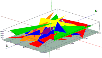
Triangle Mesh: Plot a series of colored triangles in 3-D space, given the XYZ coordinates of the three corners. (More info)
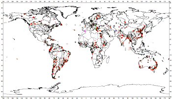
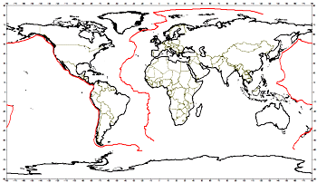
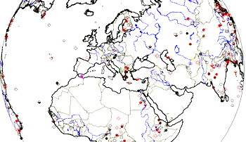
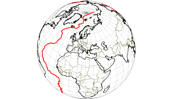
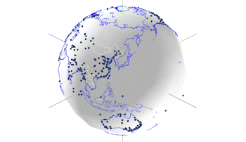
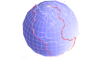
Globe Maps: Display your point or polyline data on various Earth projections.
![]() Back to Utilities Summary
Back to Utilities Summary
![]()