Given a solid model, this program will create a single output grid model in which the z-values represents either:
This is basically a means of "flattening" a solid model into single statistical grid. See the Solid -> Grids program to extract a series of grids from a solid model based on elevation, or the Solid -> Zone Grids program to extract grids based on "zones" between surfaces.
Feature Level: RockWorks Basic and higher
Menu Options
Step-by-Step Summary
If you are using the weighted arithmetic means or weighted harmonic means (below), only the portions of voxels below/above the constraining grids will be included within the computations.
RockWorks will read the input solid model file, and for each column of node values it will perform the requested data computation, storing the result as the Z value for that X,Y node location in the output grid file. This process is repeated for each column of nodes in the source file. The completed grid file will be stored on disk under the requested file name.
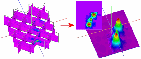
The requested diagram(s) will be displayed in a RockPlot2D tab and/or RockPlot3D tab in the Options window.
![]() Back to Solid Menu Summary
Back to Solid Menu Summary
![]()