Use the tabs at the top of the RockWorks program windows to manage the rules and filters under which spatial data (anything with X and Y and/or Z coordinates) or D (depth range), date-based data (T-Data, Aquifer), and/or stratigraphy data are processed.
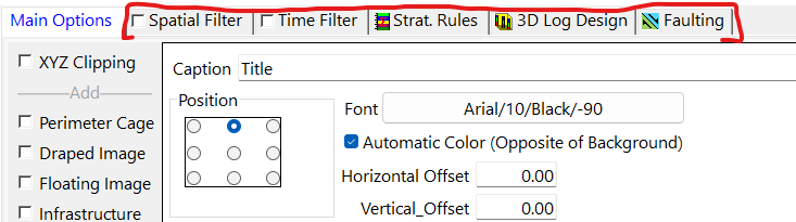
The options which are available are specific to the program window. For example, in a simple map program it may be that only a Spatial Filter is offered. If you are creating a T-Data | Model using borehole data, you will see all of the options.
Here's a summary of the rules and filters which are available, with links to more information.
- Spatial Filter
Insert a check in this box to activate the spatial filter.
Click on the Spatial Filter button to access the filter settings. (More info.)
- X: Check this to limit processing to data points within a specific east-west range. Enter the minimum and maximum X (Easting) coordinates for the data to be included.
- Y: Check this to limit processing to data points within a specific north-south range. Enter the minimum and maximum Y (Northing) coordinates for the data to be included.
- Z: Check this to limit processing to data points within a specific elevation range. Enter the minimum and maximum Z (elevation) locations for the data to be included.
- D: Check this to limit processing to data points within a specific depth range. Enter the minimum and maximum D (depth) locations for the data to be included.
- Upper Surface: Activate this setting to ignore data that lies above a designated surface (grid model). Browse for the existing grid file name (.RwGrd file).
- Lower Surface: Activate this setting to ignore data that lies below a designated surface (grid model). Browse for the name of the existing grid file.
- Polygon: Check this to limit processing to data points that lie either inside or outside a polygonal area. Click the Polygon Table button to select the Polygon Table to be used. Choose whether points inside the polygon are to be included or excluded.
- Remove Duplicates: Check this box to remove duplicate XYZ entries prior to processing.
- Time Filter
Insert a check in this box to activate a filter for date-specific data.
Click on the Time Filter button to access the filter settings. (More info.)
- Exact: Choose this option to process data for a single date only; pick the date from the pop-up calendar.
- Range: Choose this option to process data for a range of dates; pick the starting and ending dates.
- Include Time within Date Fields (Above): Check this box if your dates include time notations that need to be included in the above filters.
! Note - If you include times, the Exact filter may not work as expected; you may get more accurate results with a specific range which includes the desired time.
- Stratigraphy Rules: Click on this button to tell RockWorks which Types Table to refer to and how to handle missing stratigraphic data.
- Stratigraphic Table to be Used: Choose between your projects Stratigraphy Table or your HydroStratigraphy Table.
- Infer Partial Units:
 If checked, the program will try to determine a missing top or base depth for a formation based on overlying or underlying strata which are defined. (See more details.)
 If unchecked, the program will plot the data as-is in logs and sections.
! This setting DOES NOT require that the Stratigraphy or HydroStratigraphy Types table be ordered (with formations properly sequenced from the ground level downward).
- Infer Missing Contacts: This sub-option (if Infer Partial Units is activated) can plot the contacts for partial units midway between the available top and base. (See more details.)
! This settings DOES require that the Stratigraphy Types or HydroStratigraphy Table be ordered.
- Insert Missing Units
If checked, the program will assume that formations which are missing entirely at a contact can be pinched out at that location. The program will insert them into proper sequence, with zero thickness. (See more details.)
! This settings DOES require that the Stratigraphy Types Table be ordered.
! Don't activate this setting if you have already manually entered the missing units into the database. (See Missing Formations, Zero-Thickness Formations.)
- Create Pinchouts within Linear Correlations:
If checked: If a correlation cannot be made between a borehole interval and an adjacent borehole, the program will compute the midpoint between the two boreholes and construct a triangle that extends halfway from the defined interval and the borehole where the unit is not listed. (See more details.)
If unchecked, nothing will be drawn between the borehole that contains the stratigraphic interval and the borehole that does not.
- Include Additional Contacts Defined Within RwDat File Stratigraphic models are based on data within the Borehole Manager / Stratigraphy or HydroStratigraphy table. There may come a time, however, when additional points are required. Examples include points on surface outcrops or “professional judgement” points that are used to fine-tune surfaces in ways that are not possible with the gridding algorithms. Creating a Supplemental Stratigraphy Datasheet can be made easier by selecting the Use Template option from the New Datasheet menu and selecting the Supplemental_Stratigraphy.rwDatTemplate that is saved in the Samples project folder.
- Faulting
Click on this tab to enable the display of faults and to modify fault options. (See more details.)

RockWare home page