Use the tools in the Borehole Operations | Maps menu to read spatial data from the Borehole Database and create maps which illustrate the borehole locations with symbols, labels, projected logs, mini-logs, and contours (surface elevations or optional fields). You can also output borehole location maps to Google Earth.
![]() Back to Borehole Operations Summary
Back to Borehole Operations Summary
Borehole Location Maps
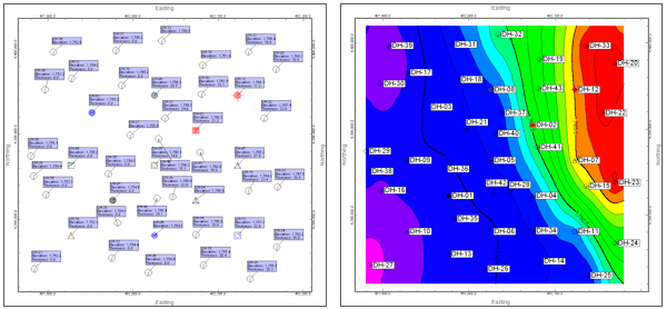
Display borehole locations with symbols. Append many types of labels. Contour the ground surface elevations. (More info)
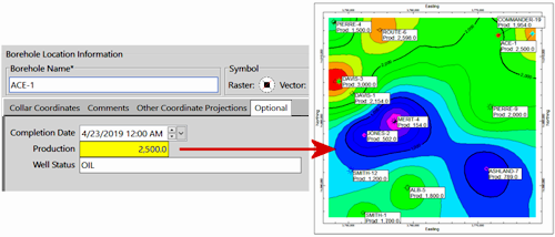
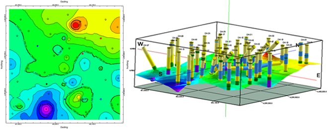
Optional Field Maps
Create contour maps of numeric data in the Optional location fields (production, etc.) (More info)
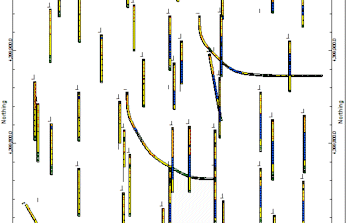
Striplog Map
Create a plan-view map of borehole locations, with mini-striplogs (with user-selected columns) next to the borehole symbols. (More info)
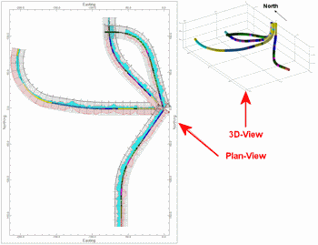
Striplog Plan-View Map
Create a plan-view map of striplogs, projected onto a horizontal plane, to illustrate the locations of inclined and deviated drill holes. (More info)
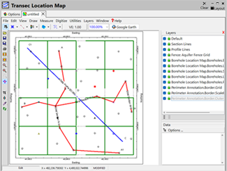
Transect Location Map
Create a plan-view map that displays Sections, Projected Sections, Profiles, and Fence Diagrams from your project, and shows them with the parameters you have set up.(More info)
Total Depth Grid
Create a grid model representing all total depths (TD) for all enabled boreholes. (More info)
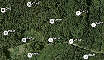
Google Earth Borehole Map - Simple
Output a quick map of your borehole locations to Google Earth. (More info)
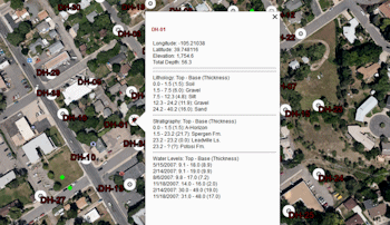
Google Earth Borehole Map - Advanced
Output your borehole locations to Google Earth with more symbol and labelling options. (More info)
![]() Back to Borehole Operations Summary
Back to Borehole Operations Summary
![]()