RockWorks | Utilities | EarthApps | Polygons Menu
Use the programs in the RockWorks | Utilities | EarthApps | Polygons menu to read a variety of data types from the Datasheet Editor and plot 2D or 3D polygons in Google Earth. This topic summarizes the tools that are available - click on a link or picture for more information.
Table of Contents
 Back to EarthApps Summary
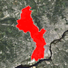
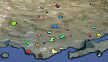
Polygons: These tools read a single list of polygon coordinates or a list of lists of polygon coordinates, to create a single or multiple polygon map.
- Single: A listing of XY vertex coordinates are read from the datasheet, and a single polygon is drawn between these coordinates. Flat or extruded polygons are available.
- Multiple: Vertex coordinates for multiple polygons are listed in external files, whose names are listed in the datasheet. A variety of color and elevation options are offered.
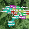
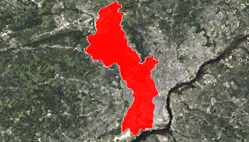
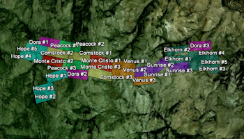
Claims: These tools plot simple quadrilateral polygons based on 4 pairs of corner point coordinates read from the datasheet.
- Simple: X,Y coordinates for 4 corner points are read from the datasheet, and the claim blocks are plotted using a preset color.
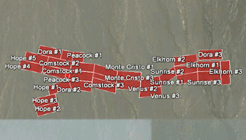
- Advanced: X,Y coordinates for 4 corner points are read from the datasheet, and the claim blocks are plotted with a variety of display and filtering options.
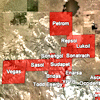
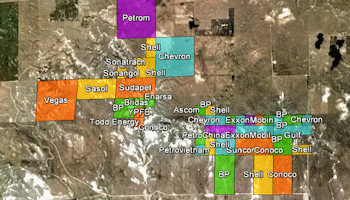
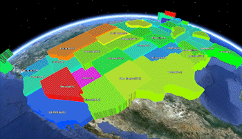
Leases: These tools plot simple quadrilateral polygons based on Public Land Survey data. These require that you've installed the RockWare Landbase.
- Simple: A listing of Public Land Survey (PLS) locations are read from the datasheet, and the lease locations are mapped using a preset color.
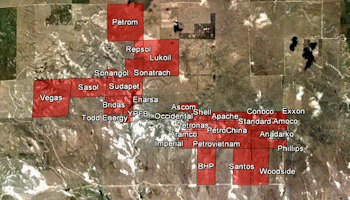
- Advanced: A listing of Public Land Survey (PLS) locations are read from the datasheet, and the lease locations are plotted with a variety of display and filtering options.
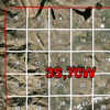
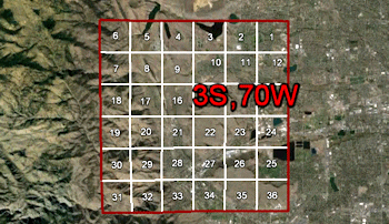
PLSS (Public Land Survey System) Grid: Plot one or more township grids based on the RockWare Landbase.
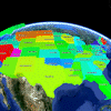
Predefined Polygons: Create detailed polygon maps based on predefined state or country boundaries.
- Simple: Reads a list of state or country names and measured values from the datasheet, and creates a map with the polygons extruded based on the measured values.
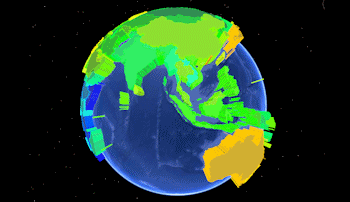
- Advanced: Reads a list of state or country names and measured values from the datasheet, and creates a polygon map with a variety of color and elevation options.
Back to EarthApps Summary
"Google" is a trademark of Google Inc.

RockWare home page