RockWorks | Utilities | EarthApps Menu
Use the programs in the Utilities | EarthApps menu to read spatial data from the datasheet and generate Google Earth KML/KMZ files which illustrate the map locations, display floating or draped images, run flyover tours, and more. The output can be loaded automatically in Google Earth, if requested.
These tools are summarized below. Click on the links or images to jump to topics with more information.
(! These programs require installation of Google Earth on your computer. Google Earth is not installed with RockWorks. Visit www.earth.google.com for download and licensing information.)
Intro - Point Maps - Line Maps - Polygon Maps - Image Maps - Flyovers - Cell Maps - Survey Maps - Extractions
Intro: Use this menu to access videos, tutorials, sample data.
Points: Quickly locate a single point in Google Earth, and create maps which illustrate X,Y locations with icon symbols, circles, cones, cylinders, strike and dip symbols.
| Quick Locator | 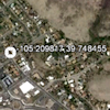 |
Icon Maps | Circle Maps | 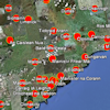 |
|
| Cone Maps | 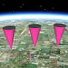 |
Cylinder Maps | 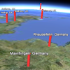 |
Strike & Dip Maps |  |
Lines: Create Google Earth maps which illustrate lines, tubes, polylines, pipelines, and parabolas.
| Lines |  |
Tubes | 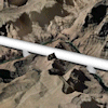 |
Polylines | 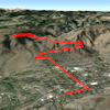 |
| Parabolas | 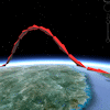 |
Pipelines | 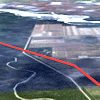 |
||
Polygons: Create maps which illustrate polygonal areas (claimes, leases, etc.).
| Polygons | 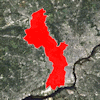 |
Claims | 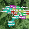 |
Leases | 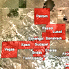 |
| Public Land Survey Grid |  |
Predefined Polygons (countries, states) |  |
||
Images: Create Google Earth displayes of floated, draped, and vertical images.
| Draped Images | 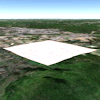 |
Floating Images | 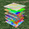 |
| Vertical Images | Legends |
Flyovers: Create Google Earth "flyover" tours.
| Simple Flyovers | Advanced Flyovers | Clipboard Flyovers |
Cell Maps: Create a grid representing your samples and display the cells as color-coded and/or extruded bars.
| Average | Cumulative | Distance | |||
| Frequency | Maximum | Minimum | |||
| Weighted | Advanced | ||||
Survey: Read survey measurements and plot points or polygons in Google Earth.
| Point | Polygon |
Extract: Use these menu items to read copied or saved data in Google Earth and record the coordinate locations in the Datasheet.
| Points | Lines | ||||
| Polylines Single (All Points) | Polylines Multiple (1 File per Polyline) | ||||
| Polygons Single (All Points) | Polygons Multiple (4 Points Each) | Polygons Multiple (1 File per Polygon) | |||
![]() Back to Utilities Summary
Back to Utilities Summary
"Google" is a trademark of Google Inc.
![]()