RockPlot2D | File | Export | MapInfo MIF/MID
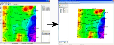
This program is used to export the active layers of the current RockPlot2D display to a MapInfo MIF/MID Interchange Format, for use with the MapInfo program. Exportable items include points (symbols, symbol text), polylines (contour lines), polygons (color contours). Items such as legends and scalebars are not exported.
- Various types of graphic items can be combined in one MIF, however we recommend you enable and disable RockPlot2D layers and export to separate MIF files to create multiple, logically-organized MapInfo files. For example, you might want to export color-fill contours as one MIF/MID file combo, and map symbols and labels as a separate MIF/MID combination.
- Note also that MIF requires data in longitude and latitude degrees; RockWorks will convert the map coordinates during export.
Menu Options
Step-by-Step Summary
- Input File: (Graphics | 2D Tools | Export | MapInfo only): Click here to browse for the name of the RockPlot2D file containing the map you want to export.
- Output: Click here to assign the name for the output file. Two MapInfo output files will be created: a .MIF file which defines the fields, and a .MID file for the data. The name you enter here will be used for both (filename.mif and filename.mid)
- If necessary, open the Rw2D file you wish to export (see Opening Plot Files)or save the current plot if it's untitled (see Saving RockPlot2D Images).
- Use the layers pane to disable any layers you don't want to export.
- Select the File | Export | MapInfo MIF/MID command from the RockPlot2D menu.
- or -
Select the Graphics | 2D Tools | Export | Mapinfo menu option from the main RocWorks program window.
- Enter the requested menu settings, as described above.
- Click the Process button when you are ready to continue.
The program will generate the .MIF file and .MID files for the active layers in the RockPlot2D image.
 Back to Export menu
Back to Graphics Menu Summary

RockWare home page