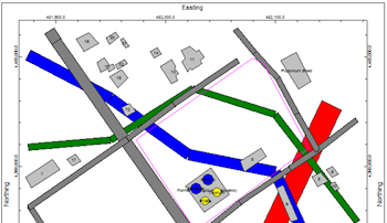
Use the Infrastructure tab in most of the 2D mapping programs in RockWorks to activate plotting of a plan-view map layer which contains simple entities such as buildings, roads, tanks, and walls. The input for the 2D Infrastructure program consists of a text file that contains a series of objects and parameters.
These infrastructure objects can also be displayed as a layer for a 3D scene and in cross section diagrams. You can also create a stand-alone infrastructure map via the Utilities | Maps | Infrastructure program.
![]()