RockWorks | Utilities | EarthApps | Polygons | Predefined Polygons Menu
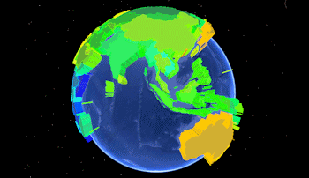
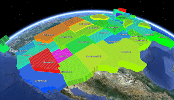
Use these programs to plot in Google Earth detailed polygon maps based on predefined state or country boundaries.
Simple: Reads a list of state or country names and measured values from the datasheet, and creates a map with the polygons extruded based on the measured values.
Advanced: Reads a list of state or country names and measured values from the datasheet, and creates a polygon map with a variety of color and elevation options.
![]() Back to EarthApps Summary
Back to EarthApps Summary
"Google" is a trademark of Google Inc.
![]()