RockWorks | Utilities | EarthApps | Polygons | Leases Menu
Use the programs in the Utilities | EarthApps | Polygons | Leases menu to plot in Google Earth simple quadrilateral polygons based on Public Land Survey data. These require that you've installed the RockWare Landbase.
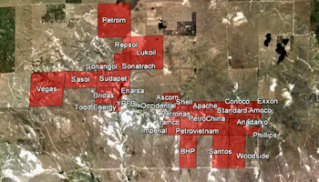
Simple: A listing of Public Land Survey System (PLSS) locations are read from the datasheet, and the lease locations are mapped using a preset color.
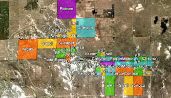
Advanced: A listing of Public Land Survey System (PLSS) locations are read from the datasheet, and the lease locations are plotted with a variety of display and filtering options.
![]() Back to EarthApps Summary
Back to EarthApps Summary
"Google" is a trademark of Google Inc.
![]()