RockWorks | Utilities | EarthApps | Images Menu
Use the programs in the EarthApps | Images menu to read the names of one or more raster image files and location information from the Datasheet Editor and plot these images in Google Earth. This topic summarizes the tools that are available - click on a link or picture for more information.
Table of Contents
| Draped Images | |
Floating Images | |
| Vertical Images | Legends |
![]() Back to EarthApps Summary
Back to EarthApps Summary
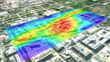
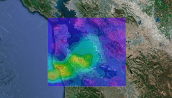
Draped Images: Images are draped along the earth surface.


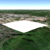
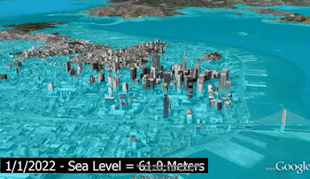
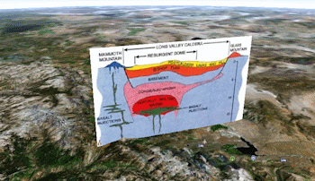
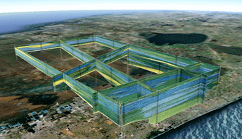
Floating Images: Images are floating above the earth surface.


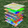
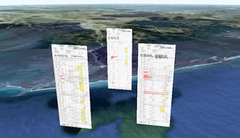
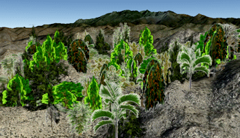
Vertical: Images are plotted vertically (perpendicular to the Earth's surface).
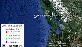
Legend: Display a raster image as a legend in Google Earth.
![]() Back to EarthApps Summary
Back to EarthApps Summary
"Google" is a trademark of Google Inc.
![]()