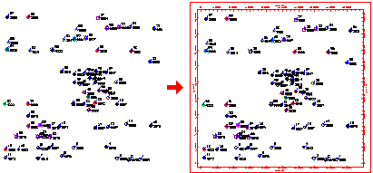
This program is used to add axis tick marks and labels representing coordinate units to a two-dimensional map, such as a sample map or contour map. If you wish to combine maps (via the File | Append command), it's often advised to first combine the maps, then add the annotations.
This is the same border annotation tool that is included in most map menus, under the Labeled Axes option.
The program will add the requested annotations, in a separate layer.
![]() Back to Manipulating RockPlot2D Files
Back to Manipulating RockPlot2D Files
![]()