RockWorks | Utilities | EarthApps | Images | Vertical Menu
Use the programs in the Utilities | EarthApps | Images | Vertical menu to read a listing of user-created raster images and locations from the Datasheet Editor and plot these images vertically (perpendicular to the Earth's surface).
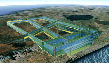
Based on Single Midpoint: Images are plotted based on a single XY location and a defined width and height.
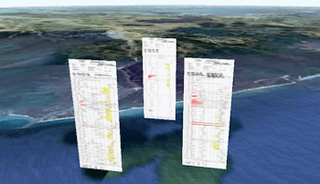
Based on Two Endpoints (Simple): Images are plotted based on coordinates defined for their left and right edges, and a defined height.
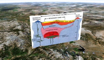
Based on Two Endpoints (Advanced): Images are plotted based on coordinates defined for their left and right edges, and base and top elevations. Vertical offset and exaggeration are available.
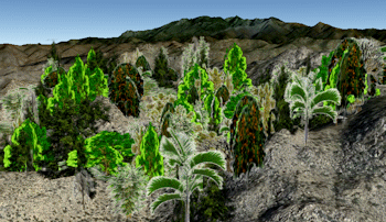
90-Degree Images: Images are plotted east-west and copied north-south, based on center point coordinates and width and height declarations, generating a 3D effect.
![]() Back to EarthApps Summary
Back to EarthApps Summary
"Google" is a trademark of Google Inc.
![]()