RockWorks | Utilities | EarthApps | Survey Menu
Use the programs in the Utilities | EarthApps | Survey menu to read bearing and distance information and create point or polygon maps for display in Google Earth. This topic summarizes the tools that are available - click on a link or picture for more information.
Table of Contents
| Point | Polygon |
![]() Back to EarthApps Summary
Back to EarthApps Summary
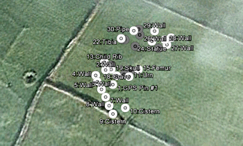
Survey -> Points: Read bearing and distance measurements, convert to XY points based on defined control points, and generate a point map.
Survey->Polygons: Read bearing and distance measurements, convert to XY polygon vertices based on defined control points, and generate a polygon map.

![]() Back to EarthApps Summary
Back to EarthApps Summary
"Google" is a trademark of Google Inc.
![]()