RockWorks | Utilities | EarthApps | Lines | Polylines Menu
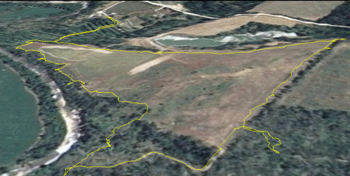
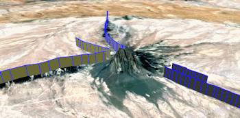
Use the programs in the Utilities | EarthApps | Lines | Polylines menu to plot one or more multi-segmented "polylines" in Google Earth.
Single: A single polyline is plotted, with XY and (optionally) Z coordinates read from the Datasheet Editor.
Multiple: Multiple polylines can be plotted, read from individual .rwDat files listed in the datasheet.
![]() Back to EarthApps Summary
Back to EarthApps Summary
"Google" is a trademark of Google Inc.
![]()