RockWorks | Utilities | EarthApps | Polygons Menu
Use the programs in the Utilities | EarthApps | Polygons menu to read a single list of polygon coordinates or a list of polygon coordinate files, to create a Google Earth map with one or multiple polygons.
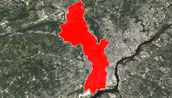
Single: A listing of XY vertex coordinates are read from the datasheet, and a single polygon is drawn between these coordinates. Flat or extruded polygons are available.
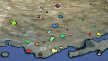
Multiple: Vertex coordinates for multiple polygons are listed in external files, whose names are listed in the datasheet. A variety of color and elevation options are offered.
![]() Back to EarthApps Summary
Back to EarthApps Summary
"Google" is a trademark of Google Inc.
![]()