These files are used to build a 3D image containing triangles plotted between three XYZ locations. This program can read 11 columns of information: The X Y Z (elevation) locations for the three points defining the triangles, the color, and the plane's ID.
These planar triplets can also be run though the Utilities | Planes | 3-Points -> Dip Direction program to compute the strike and dip of each plane, which can be recorded into the datasheet.
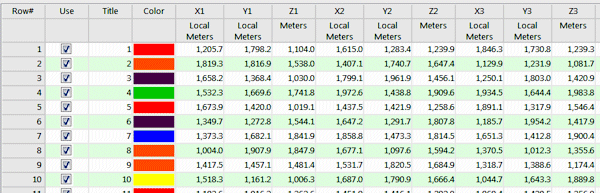
- Title: Optional though recommended. This will label the triangle in the RockPlot3D window.
- Color: Required. This defines the color in which the triangle is to be plotted.
- X1, Y1, Z1: Required. These assign easting, northing, and elevation coordinates for one corner of the triangle. The X, Y, and Z (elevation) must be listed in the same units, such as feet or meters. Be sure to assign the coordinate system and units for the columns.
- X2, Y2, Z2: Required. These assign easting, northing, and elevation coordinates for the second corner of the triangle.
- X3, Y3, Z3: Required. These assign easting, northing, and elevation coordinates for the third corner of the triangle.

RockWare home page