Lineation endpoint data can be entered into the RockWorks datasheet for the purposes of computing lineation azimuth/midpoint/lengths and lineation densities & intersections, and for creating rose diagrams, lineation maps, and arrow maps. These tools are in the Linears menu.
Example
Column Summary
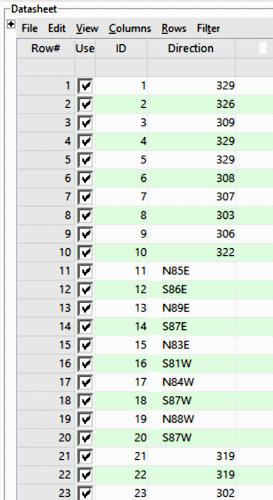
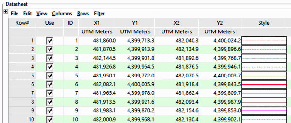
- ID: Optional. Lists the sample number or name for each lineation.
- X1 Y1: Required. List the X,Y coordinate for the beginning of each line.
These may represent a local coordinate system, or a global coordinate system such as UTM or longitude/latitude. See Defining your Datasheet Coordinates and Units for information. - X2 Y2: Required. List the X,Y coordinate for the end of each line.
- Line Style and Color (optional): Lists the style and color for each lineation, used for lineation maps and arrow maps, though not required (a fixed style can be selected).
Sample files: Maps_Lineations.rwDat, Linears_Rose_Endpoints.rwDat
See also:
- Digitizing data for information about digitizing line endpoint data directly into the datasheet.
- Slope movement data structure for X1Y1X2Y2 data that also have elevation and time measurements associated with them, for movement analysis.
- Computing azimuth bearings from endpoint data and other directional statistics and tools.