Global polyline data files simply list the longitude and latitude coordinates for the vertices of a multi-segmented line (or "polyline"). The names of these individual polyline files can then be listed in a single RwDAT file for plotting the polygons in RockPlot2D, RockPlot3D, or in Google Earth.
Polyline Data:
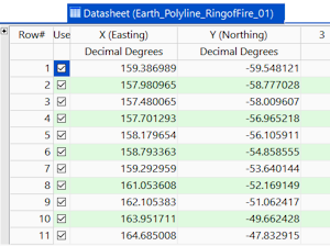
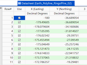
These examples illustrate the longitude and latitude coordinates for polyline vertices in two columns in the main datasheet.
List of Polyline Data Files:
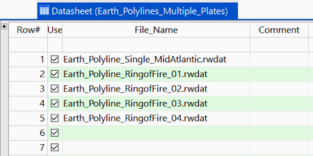
This example illustrates how to list the names of the polyline RwDAT files in the main datasheet. This is what you will be prompted for when running the RockWorks | Utilities | 3-D | Sphereplot polyline programs, and the RockWorks | Utilities | Earth | Polylines - Multiple program.
![]()