RockWorks | Utilities | EarthApps | Points | Cones
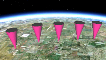
Use the programs in the Utilities | EarthApps | Cones menu to read XY locations from the Datasheet Editor and generate maps which illustrate the locations with 3D cones.
Simple: All of the cones will be the same size and color. Simple labels are available.
Proportional: The size and color of the cones are automatically determined by the program, based on measured values listed in the datasheet. Simple labels are available.
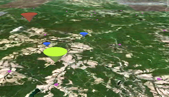
Advanced: This offers the most options - The size and color of the cones can be constant, based on specific size and color listings in the datasheet, or scaled automatically by the program.

![]() Back to EarthApps Summary
Back to EarthApps Summary
"Google" is a trademark of Google Inc.
![]()