RockWorks | Datasheet | Filter | Borehole Distance
Use this RockWorks Datasheet program to either enable or disable a row in the datasheet based on the distance between the point and the closest borehole within the borehole database.
! Only rows which are already enabled (checked) will be processed by this filter. Disabled rows will remain disabled regardless of their data listings.
Feature Level: RockWorks Basic and higher
Menu Options
Step-by-Step Summary
- Data Columns (along the left edge of the window).
- X (Easting): Select the column in the current datasheet that contains the X or Easting coordinates.
- Y (Northing): Select the column that contains the Y or Northing coordinates.
- Options
- Cutoff Distance (Linear Project Units): Enter the distance within or beyond which the datasheet row will be enabled/disabled.
- Filter Type:
- Keep Interior Points (Disable Exterior Points): Choose this option if the rows with X and Y coordinates within the distance radius from a borehole will remain enabled. Rows with XY coordinates outside the distance radius will be disabled.
- Keep Exterior Points (Disable Interior Points): Choose this option if the rows with X and Y coordinates beyond the distance radius from a borehole will remain enabled. Rows with XY coordinates inside the distance radius will be disabled.
- Access the RockWorks Datasheet program tab.
- Open the datasheet to be manipulated.
- Click on the Filter menu above the datasheet and select the Borehole Distance option.
- Enter the requested menu settings, described above.
- Click the Continue button to proceed.
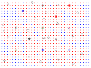
The program will read the enabled rows in the datasheet and compare each X and Y coordinate location to the location of the boreholes in the Borehole Manager database. It will disable the rows inside or outside the defined distance radius, as requested.
 Back to Editing the Datasheet

RockWare home page