
Project Settings and Dimensions
| Project Settings, Grid & Model Dimensions, Project Coordinates and Units, and Notes are now docked at the top of the main program window, for easy access | |
|
New QuickMap tab for display of your borehole locations.
Native SQLite database, continued support for SQL Server |
 |
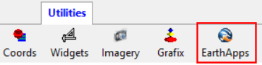
EarthApps - these programs have been moved from their own program tab to a drop-down menu in the Utilities.
| 2D and 3D faulting for surface models |  |
| New "geobody" filter for solid models to consolidate like materials |  |
New Diagram Improvements - Digitize XYZ coordinates from 2D profile diagrams
Import/Export Updates - Updated "ODBC" imports from other types of databases.
![]()