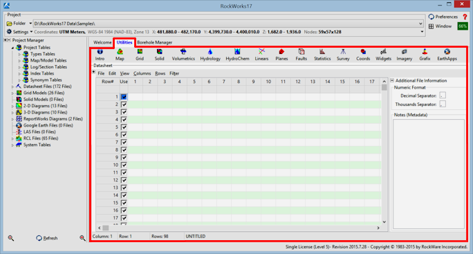
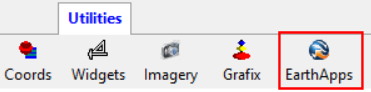
The EarthApps programs are contained in the EarthApps menu in the RockWorks Utilities. They read spatial data from the Utilities row-and-column datasheet. These data can include simple XY data for generating point maps, bearing and dip data for strike and dip maps, image names, line endpoints, and many more.
The EarthApps programs are accessed by clicking on the "Utilities" tab along the top edge of the program window:
and clicking on the EarthApps menu.
"Borehole" data, consisting of downhole lithology, stratigraphy, geochemistry, geophysical and other measurements are entered into the separate "Borehole Manager", discussed in a separate section of this tutorial (click here to jump to that lesson set).
![]() Back to main menu | Next (Open project)
Back to main menu | Next (Open project) ![]()
![]()