The RockWorks | Borehole Operations | Striplogs | 2D Striplog Section program typically place the logs in the diagram relative to their distance from each other along the cross section trace, as is shown in the example above. The program now, however, also allows the user to plot the logs such that they are equally-spaced. To illustrate the utility of this new capability, consider the following case study.
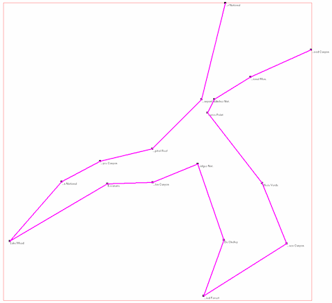
The map below shows the course of a hole-to-hole section within the Colorado Plateau. The boreholes represent idealized sections at a series of National Parks (e.g. Canyonlands, Grand Canyon, etc.). The section represents the route of a four-week field trip.
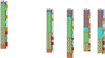
A typical section would separate the boreholes based on their relative distances resulting in a cross-section that is less than usable, as shown by the following diagram.
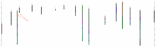
Admittedly, the diagram above could be improved by adjusting the column widths, fonts sizes, etc. but some of the logs would invariably overplot each other (note area indicated by red arrows).
By switching to a "Fixed (Constant) Spacing" of 10,000 meters (10km), a much more useful diagram is created as show by the following example. This new capability eliminates overplotted logs and does not require log dimension adjustments.
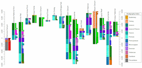
(Vertical Exaggeration = 5x)
Caveats:
![]()