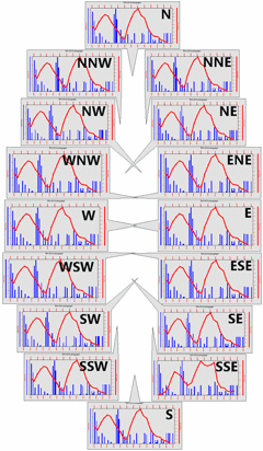
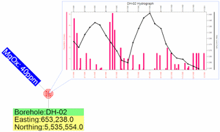
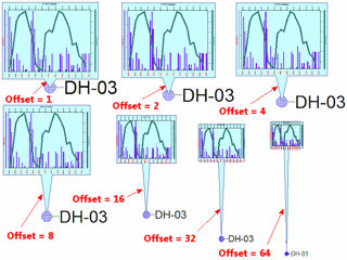
The Offsets tab is used to access settings for small map-based charts, such as hydrographs or time-graphs.
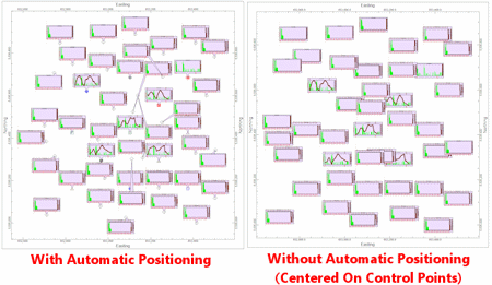
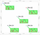
Why are there so many fixed-position options? The primary reason for using these options instead of the automatic positioning involves maps with multiple charts. For example, if a map is to contain Stiff diagrams as well as hydrographs, you may want to position the Stiff diagrams southwest of the well location while the hydrographs are positioned to the northeast.
![]()