RockWorks | Datasheet | Search | Find Closest Point
RockPlot2D | Find Closest Point in Datasheet
This program is used to display the row in the RockWorks datasheet whose X and Y coordinates are closest to the coordinate pair that you type in or select with a mouse. This tool is available in two places:
- The Search menu of the RockWorks Datasheet program tab, where you type in the coordinates to be searched.
- In RockPlot2D, where you right-click on a map location to be searched.
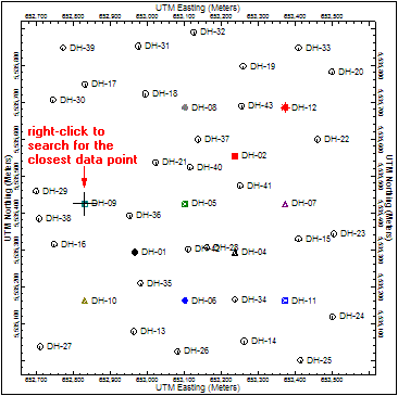
Typical applications include hand-entering a known GPS coordinate captured on a study site to locate the closest sample station, or right-clicking on a map location to retrieve the data record for that site.
- Input Columns:
- Easting, Northing: The program needs to know which columns in the RockWorks Utilities datasheet contain the X and Y coordinates to be searched. Choose the appropriate columns from the drop-down lists.
- Locate Point:
- This will not be displayed if the Locate Closest Point action was selected from a right-click in RockPlot2D map since the program will use the right-click coordinates.
- If this action was selected from the program View menu, the program will prompt you for the X and Y coordinate of the location whose closest point is to be retrieved.

RockWare home page