This tool is used to display the borehole data record whose location is closest to an X and Y coordinate pair that you type in or select with a mouse. This tool is available in two places:
Typical applications include hand-entering a known GPS coordinate captured on a study site to locate the closest sample station, or right-clicking on a map location to retrieve the data record for that site.
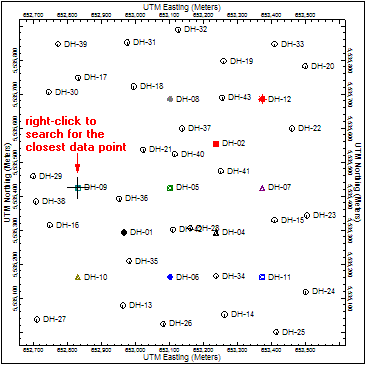
If you right-click on a RockPlot2D map location and choose Locate Closest Borehole, there are no menu options displayed. The borehole record closest to the map point you right-clicked will simply be shown as highlighted.
If you selected the Borehole Manager | View | Locate Closest Borehole option, you will be prompted:
When you click the Process button, control will be transferred back to the data window, and the borehole record closest to that point will be displayed.
![]()